
How Car GPS Navigation Systems Have Evolved
The evolution of car GPS navigation systems is a fascinating journey that mirrors the rapid advancements in technology over the past few decades. From rudimentary paper maps to sophisticated real-time digital assistants, GPS navigation has transformed the way we travel, making journeys more efficient, safer, and more enjoyable. This article explores the key milestones in the development of car GPS navigation systems, highlighting the innovations that have shaped their evolution.
The Early Days: Paper Maps and Radio Navigation
Before the advent of GPS, drivers relied on paper maps and atlases to navigate unfamiliar roads. While these tools were functional, they required constant manual updates and often led to frustration when roads changed or new routes were constructed. In the mid-20th century, some vehicles experimented with rudimentary radio-based navigation systems, such as the Iter Avto in the 1930s, which used scrollable maps synchronized with the car’s speedometer. However, these early attempts were cumbersome and far from accurate.
The Birth of GPS: Military Origins to Civilian Use
The Global Positioning System (GPS) was originally developed by the U.S. Department of Defense in the 1970s for military applications. By the 1980s, the technology was declassified, allowing civilian use. The first commercially available car navigation systems, such as the Etak Navigator (1985), used digital maps stored on cassette tapes and relied on dead reckoning (calculating position based on speed and direction) when GPS signals were weak. These early systems were expensive and primarily used in luxury vehicles.
The 1990s: The Rise of Dedicated GPS Devices
The 1990s marked a turning point with the introduction of standalone GPS navigation devices. Companies like Garmin and TomTom pioneered portable GPS units that could be mounted on dashboards. These devices used satellite signals to provide real-time positioning, though early versions had limitations such as slow processing speeds and occasional inaccuracies.
One of the most significant advancements during this era was the integration of turn-by-turn voice guidance, eliminating the need for drivers to constantly glance at the screen. By the late 1990s, automakers began incorporating built-in GPS navigation systems into high-end vehicles, offering more seamless integration with car displays.
The 2000s: Digital Maps and Real-Time Updates
The early 2000s saw major improvements in digital mapping and connectivity. Companies like Google Maps (launched in 2005) revolutionized navigation by offering free, web-based mapping services. Meanwhile, GPS manufacturers introduced features like real-time traffic updates, dynamic rerouting, and points of interest (POI) databases.
Another breakthrough was the introduction of 3D mapping and lane guidance, which helped drivers navigate complex highway interchanges with greater ease. By the mid-2000s, GPS devices became more affordable, making them accessible to the average consumer.
The Smartphone Revolution: Navigation Goes Mobile
The rise of smartphones in the late 2000s and early 2010s dramatically changed the GPS landscape. Apps like Google Maps, Waze, and Apple Maps offered free, constantly updated navigation with crowd-sourced traffic data, live incident reports, and even predictive routing based on historical trends.
Smartphone navigation also introduced voice-activated controls, allowing drivers to request directions hands-free. The convenience of mobile navigation led to a decline in standalone GPS devices, forcing companies like Garmin and TomTom to adapt by focusing on specialized markets such as trucking and outdoor navigation.
Modern GPS: AI, Autonomous Driving, and Beyond
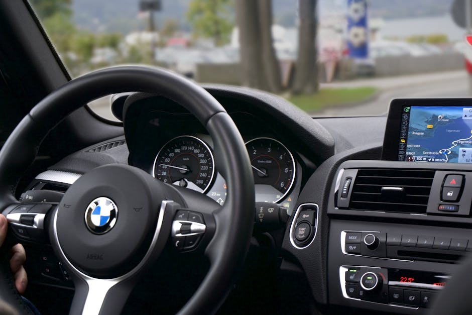
Today, car GPS navigation systems are more advanced than ever, integrating artificial intelligence (AI) and machine learning to provide predictive routing, personalized suggestions, and even integration with autonomous driving systems. Modern vehicles often come equipped with head-up displays (HUDs) that project navigation instructions onto the windshield, reducing distractions.
Additionally, connected car technology allows navigation systems to communicate with traffic infrastructure, providing real-time updates on accidents, road closures, and weather conditions. Some luxury vehicles now feature augmented reality (AR) navigation, overlaying directional arrows onto live camera feeds for an intuitive driving experience.
The Future of Car GPS Navigation
Looking ahead, GPS navigation will continue evolving alongside advancements in 5G connectivity, vehicle-to-everything (V2X) communication, and fully autonomous driving. Future systems may incorporate biometric feedback to adjust routes based on driver fatigue or integrate with smart city networks for seamless urban mobility.
Conclusion
From paper maps to AI-powered augmented reality, car GPS navigation systems have undergone a remarkable transformation. What began as a military tool has become an indispensable part of modern driving, enhancing safety, efficiency, and convenience. As technology continues to advance, the future of GPS navigation promises even smarter, more intuitive, and seamlessly integrated solutions for drivers worldwide.
The journey of GPS navigation is far from over—it’s just getting started.